Why Concrete Paving Demands Sub-Millimeter Precision
The Functional Consequences of Flatness Deviation: Ride Quality, Joint Stress, and Service Life
Small problems with surface flatness can actually lead to big issues down the road. When surfaces have irregularities over 2mm, they make rides uncomfortable because cars bounce around more from these vibrations. Drivers get tired faster and overall satisfaction drops significantly. Slabs that aren't properly aligned shift weight distribution between joints, which creates extra stress points. This stress builds up over time and causes tiny cracks to form in nearby concrete areas. According to various infrastructure studies, this kind of early wear and tear can cut pavement lifespan nearly in half sometimes. Roads designed to last 20 years might need major repairs after only 5 or 6 years instead. Water finds its way into those small cracks too, leading to bigger problems like freeze-thaw damage and rusting steel bars inside the concrete. What starts as a minor flatness issue ends up requiring expensive fixes that nobody wants to deal with.
Industry Benchmarks: Understanding FF/FL Numbers and ±1.5mm/km Tolerance in Modern Concrete Paving
Today's industry standards measure how flat concrete surfaces are using what's called FF (Flatness) and FL (Floor Levelness). These metrics come from special devices known as profilographs that track surface irregularities. Most places around the world stick to a tolerance of plus or minus 1.5 mm over each kilometer. To put that into perspective, imagine stacking two credit cards under a 3 meter ruler across the floor - that's basically the allowed deviation. Long term research showed this standard works best for keeping floors in good shape over time. When projects fall outside this range, they tend to need repairs about 23% more often during the first ten years of use. Concrete isn't forgiving like asphalt, so getting it right matters a lot. Because of this, today's specs demand constant checks while pouring concrete. Contractors now use laser guided screeds and automatic monitoring equipment to make sure everything meets requirements before the mix even starts to harden.
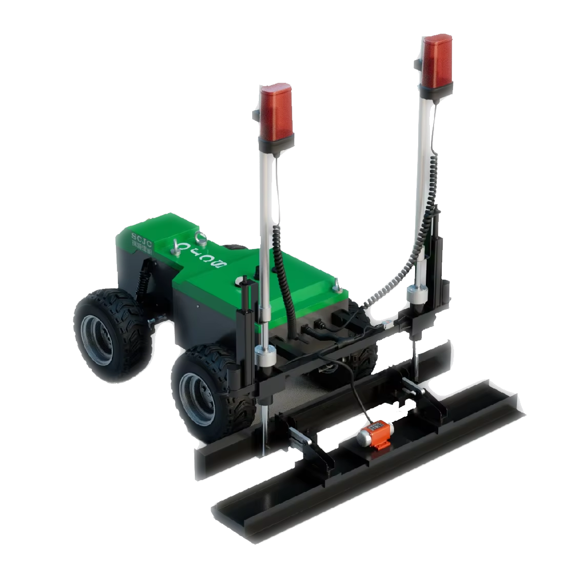
How Automated Slipform Pavers Achieve Precision in Concrete Paving
From Hydraulic Control to AI-Driven Closed-Loop Systems: Real-Time Sensor Integration and Adaptive Calibration
Today's automated slipform pavers can hit almost perfect measurements thanks to GNSS systems working alongside laser scanners and those little inertial sensors we all know about. The whole setup sends live info about height and where things are going to smart computer programs. These programs then tweak the position of the mold and how hard it vibrates as the machine keeps moving along. What makes this so good is that it stops those annoying calibration issues that happen when people have to do adjustments manually. Plus, it handles uneven ground conditions right there in the moment without stopping work. Contractors tell us these kinds of self-adjusting systems cut down on surface irregularities by around two thirds compared to older techniques. That means roads and pavements end up meeting specs consistently without relying on whether the operator happened to be having a good day or not.
Case Evidence: I-66 Corridor Project – 98.7% Compliance with Target Flatness Using Fully Automated Concrete Paving
Looking at the Virginia I-66 highway expansion gives us a good example of how automation changes things on site. The contractors used these advanced slipform pavers equipped with sensors that could place concrete within just a few millimeters of where they needed to be, covering all those 42 lane miles. When someone checked independently, they found that about 98.7% met the required flatness standards. And this kind of precision actually makes sense when thinking about costs down the road. A recent 2023 FHWA study showed something interesting too. Projects using automated paving had around 42% fewer problems with joints needing repair after ten years. So while many might see this as just another tech improvement, what we're really talking about here is a solid approach that creates roads that last longer without constant maintenance headaches.
3D Machine Control: Synchronizing GNSS, Inertial, and Laser Data for Topographic Accuracy
The Global Navigation Satellite Systems we rely on for positioning give us those crucial geographic coordinates, though their accuracy drops off to several meters when signals get blocked. Then there are Inertial Measurement Units which can follow how equipment moves around over time pretty well, but they tend to accumulate errors as they go along. For vertical measurements down to the millimeter level, laser systems including both LiDAR technology and traditional rotating lasers work great. However these same laser systems have problems dealing with things like dust particles floating through the air or heavy rainfall that just gets in the way of proper readings.
Today's 3D machine control systems tackle these problems by combining different sensors. GNSS gives us the big picture location, IMUs track how things are tilting and moving around, while lasers keep checking the vertical alignment as we go along. The software behind all this works constantly to make sense of everything happening at once. Lasers help fix those little errors that build up over time from movement, and GNSS keeps our laser readings stable when we need them most. What comes out of this mix is really impressive accuracy down to just a few millimeters both horizontally and vertically. This kind of precision hits right on target for concrete roads that need to stay perfectly flat within about 1.5mm per kilometer, which is pretty much what highway engineers ask for when building quality surfaces.
| Technology | Primary Function | Compensated Limitation |
|---|---|---|
| GNSS | Geospatial positioning | Signal obstructions |
| Inertial (IMU) | Orientation tracking | Cumulative drift over time |
| Laser | Elevation verification | Environmental interference |
The way these systems work together allows for constant adjustments to terrain as paving happens. Modern closed loop technology actually adjusts those paver screeds more than 100 times every single second based on all that sensor data coming in. This replaces those old fashioned spot checks workers used to do manually with something much better - continuous monitoring that doesn't rely on human judgment alone. According to research done in actual construction sites, roads built with this integrated approach show about 62 percent less surface irregularities compared to when they just use regular equipment. And that makes sense because smoother surfaces last longer and need way fewer fixes at the joints down the road. Contractors are starting to see real benefits from making this switch.
The Long-Term ROI of Precision: Lowering QA Costs and Extending Pavement Lifespan
Getting precise with concrete paving actually saves money in multiple ways beyond just initial savings. When contractors use automated systems, they spend less on quality checks because there's simply not as much rework needed. Inspections happen less often too, and nobody has to go back for those annoying grade corrections anymore. What really stands out though is how these systems make roads last longer. The joints between slabs stay intact for much longer periods. According to FHWA research from last year, roads built with automated slipform technology saw around 42% fewer problems at the joints after ten years compared to regular paving methods. Why does this happen? Because the surface ends up flatter, so weight gets distributed better across the road. This means cracks form later, and water doesn't seep in as easily. For city planners and highway departments, all this translates to real savings over time. They don't need to replace roads as frequently, and their infrastructure keeps working properly for decades instead of just a few years.
FAQ
Why is sub-millimeter precision important in concrete paving?
Sub-millimeter precision is important because small irregularities can lead to significant issues such as uncomfortable rides, increased stress on joints, and reduced lifespan of the pavement, resulting in costly repairs.
What are FF (Flatness) and FL (Floor Levelness) measurements?
FF and FL are industry standards used to measure how flat concrete surfaces are. They are derived from profilographs and help ensure that concrete surfaces meet the necessary flatness requirements.
How do automated slipform pavers achieve precision in concrete paving?
Automated slipform pavers utilize GNSS systems, laser scanners, and inertial sensors to provide real-time data, allowing for precise adjustments that reduce surface irregularities significantly.
What is the role of 3D machine control in concrete paving?
3D machine control combines data from GNSS, inertial measurement units, and laser systems to achieve topographic accuracy both horizontally and vertically, which is crucial for maintaining flatness standards.
How does automation in concrete paving lead to long-term cost savings?
Automation reduces the need for frequent quality checks and rework, and it helps to extend the lifespan of roads by ensuring better flatness and weight distribution, preventing early formation of cracks.
Table of Contents
- Why Concrete Paving Demands Sub-Millimeter Precision
- How Automated Slipform Pavers Achieve Precision in Concrete Paving
- 3D Machine Control: Synchronizing GNSS, Inertial, and Laser Data for Topographic Accuracy
- The Long-Term ROI of Precision: Lowering QA Costs and Extending Pavement Lifespan
-
FAQ
- Why is sub-millimeter precision important in concrete paving?
- What are FF (Flatness) and FL (Floor Levelness) measurements?
- How do automated slipform pavers achieve precision in concrete paving?
- What is the role of 3D machine control in concrete paving?
- How does automation in concrete paving lead to long-term cost savings?