Building elevation tools play a crucial role in modern construction projects, their importance spanning the entire project lifecycle—from foundation work to structural topping out, from ground leveling to high-altitude operations. These tools serve not only as the “ruler” ensuring engineering precision but also as the key support for guaranteeing construction safety and enhancing efficiency.
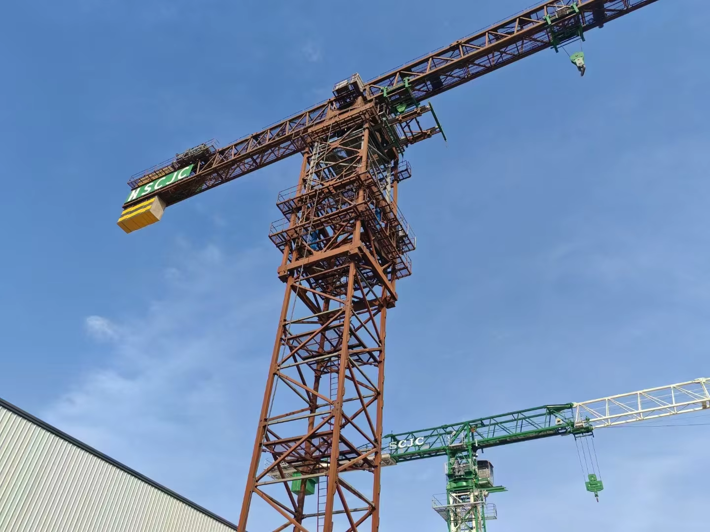
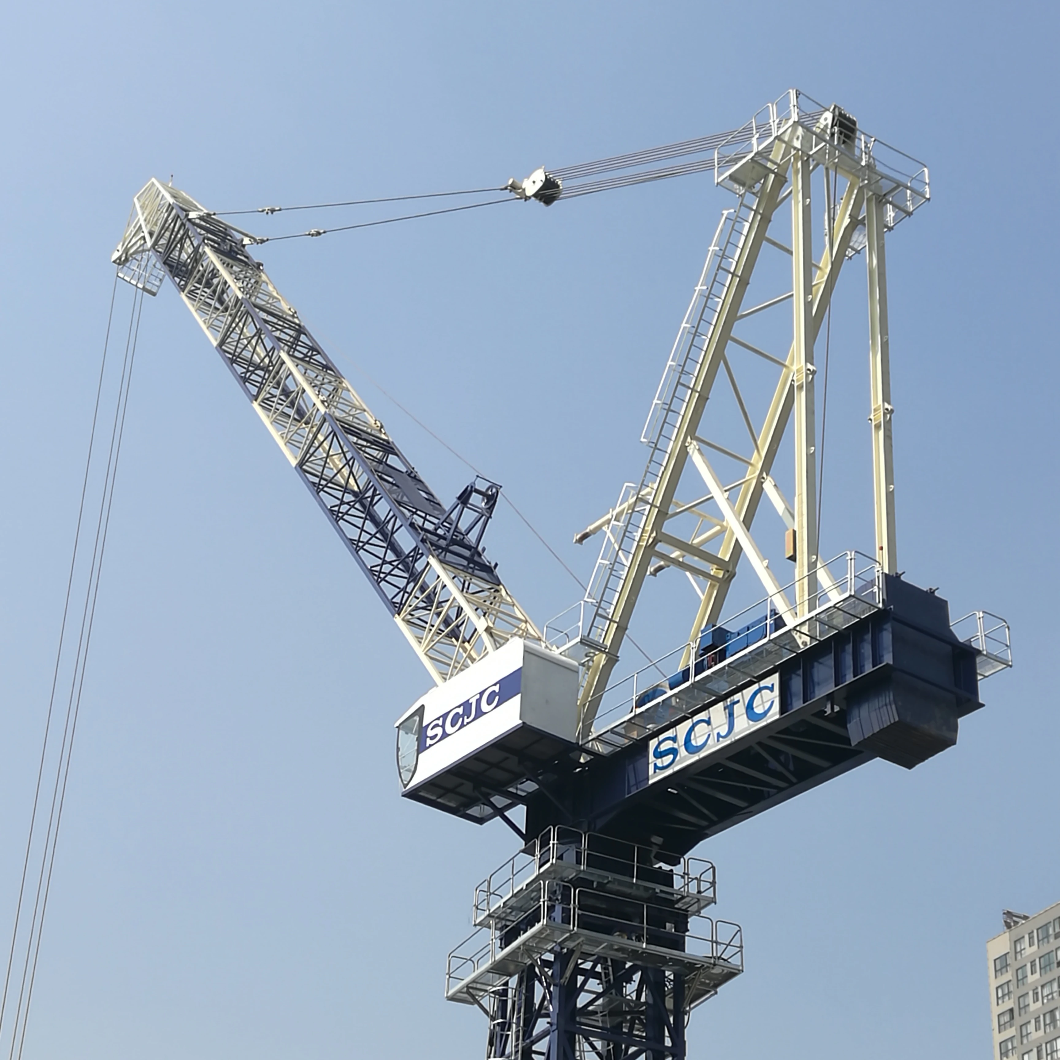
First, elevation tools are central to ensuring structural precision and vertical alignment. In construction, whether controlling floor-to-floor heights, calibrating roof slopes, or laying level foundations, even minor elevation deviations can trigger cascading errors in subsequent processes or create structural hazards. Tools like laser levels, theodolites, and elevation gauges deliver millimeter-level measurement precision, enabling construction teams to strictly adhere to vertical and horizontal design specifications. In multi-story buildings, bridges, or road projects, these instruments continuously monitor elevation changes to ensure vertical alignment and overall structural coherence, preventing cumulative errors that could compromise stability.
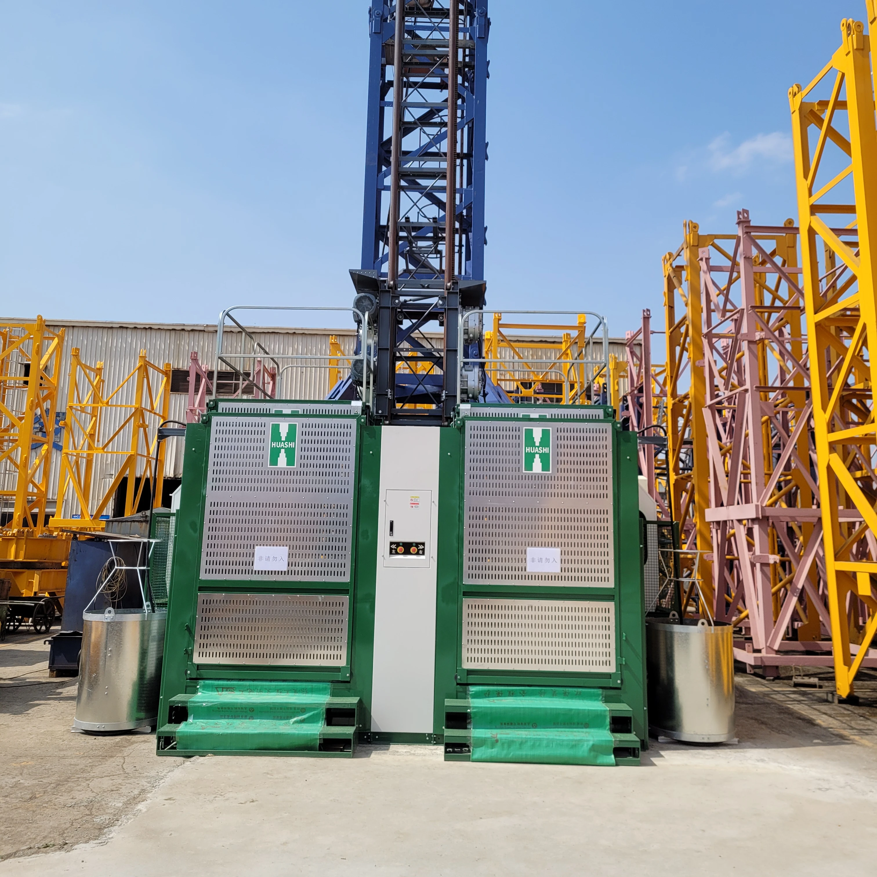
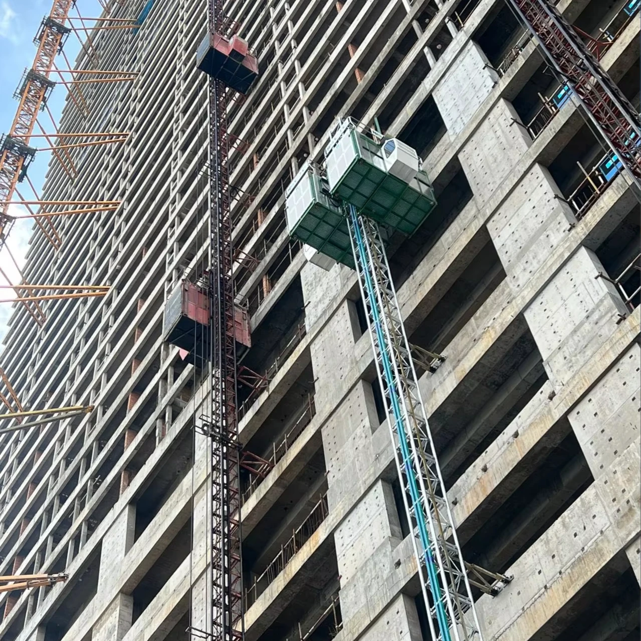
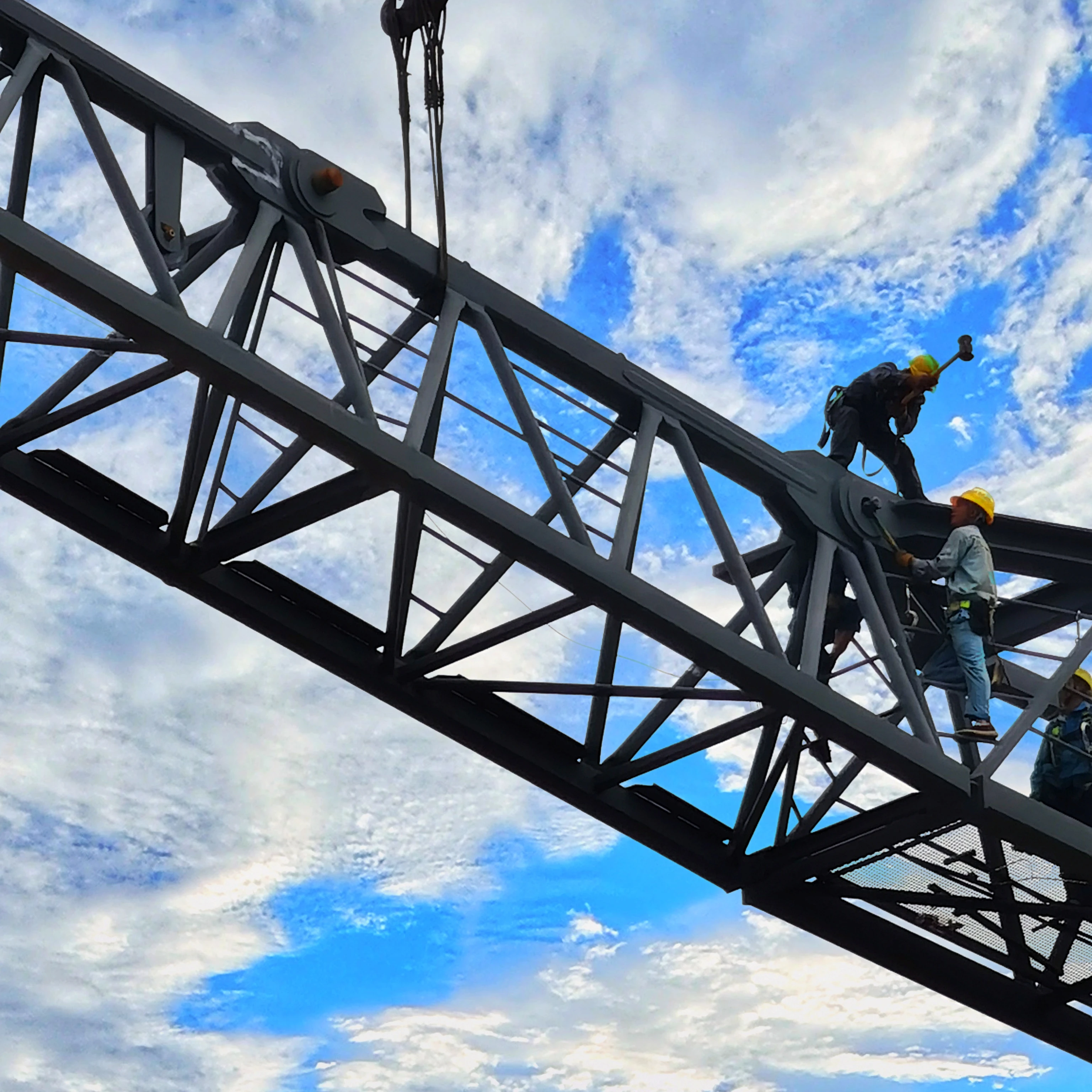
Second, these tools directly impact the safety of workers at heights. As building heights increase, workers must perform installation, welding, or maintenance tasks on scaffolding, aerial work platforms, and similar equipment. Elevation tools provide reliable safety benchmarks for these operations. For instance, by precisely measuring the elevation of the work surface, contractors can correctly set guardrail heights and determine the coverage area for safety nets. Additionally, positioning and deployment heights for specialized aerial equipment like DAXLIFTER scissor lifts and Genie scissor platforms rely on elevation tools for calibration, ensuring platform stability and operational clearance meet safety standards. These tools significantly reduce risks of falls and equipment overturns, forming an “invisible defense line” for construction site safety management.
Elevation tools also play an irreplaceable role in boosting construction efficiency. Traditional manual measurement methods rely on basic tools like tape measures and levels, which are time-consuming and susceptible to human factors (e.g., reading errors, environmental interference). Modern digital elevation tools—such as GPS modeling systems, InSite Elevation Pro software, and laser rangefinders—dramatically streamline measurement workflows. Utilizing satellite positioning or laser reflection technology, they capture elevation data across large sites within minutes and automatically generate 3D terrain models or construction reference planes. Furthermore, in prefabricated modular construction, precise component alignment heights must be calibrated beforehand using elevation tools. Failure to do so may result in components being “uninstallable on-site.” By pre-planning elevation parameters, construction teams can minimize rework and reduce material waste (such as concrete chipping or steel cutting due to height discrepancies), significantly shortening project timelines and controlling costs.
For complex projects like high-rise buildings and industrial facilities, the importance of elevation tools becomes even more critical. For instance, in super-tall building construction, vertical deviation of the core tube must be controlled within an extremely narrow range (typically no more than a few millimeters per meter), requiring continuous monitoring by high-precision elevation equipment like total stations and laser plumb bobs. In the construction of ultra-tall structures like wind turbines and smokestacks, workers must access heights of hundreds of meters using specialized aerial work platforms (e.g., telescopic boom lifts). The deployment position and operational radius of these platforms must be precisely calculated based on elevation data. Additionally, drone-mounted surveying and elevation systems can rapidly scan terrain undulations, providing precise elevation references for earthwork operations in large-scale infrastructure projects (e.g., highway and railway embankments). This ensures road surface drainage gradients align with design specifications.